


2 ~ 4 cm
Accuracy of visual positioning and point clouds


50 m
Laser ranging distance


3 cm
Laser accuracy within 10 m


24/7
TAP global correction service
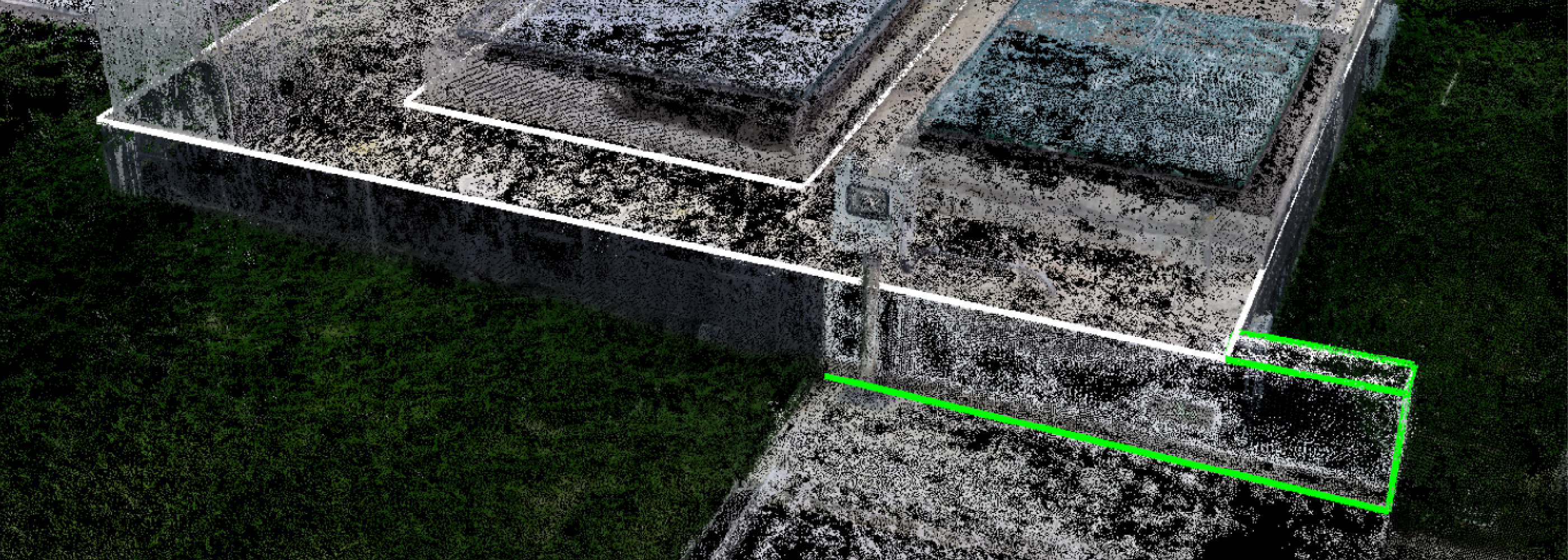
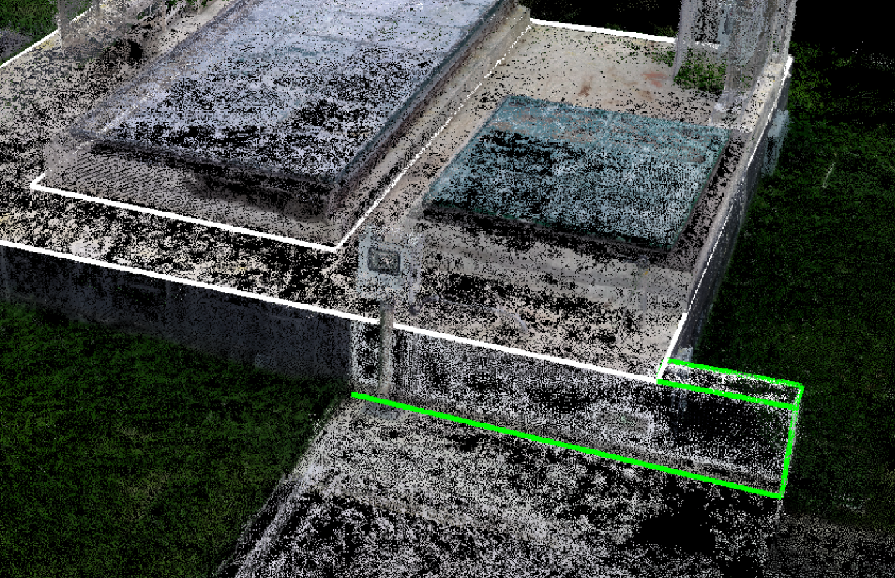
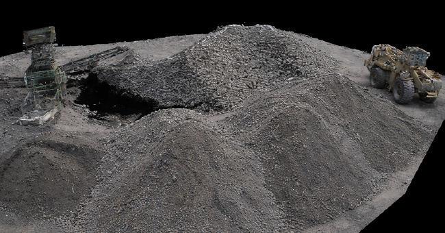
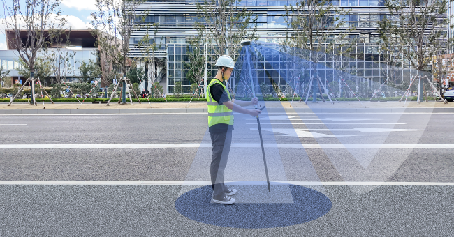
Capturing and Reconstructing the Site
With captuRTK™ TS30, simply walk through the site and record a video. The system automatically reconstructs high-density point clouds with accurate spatial positioning. Next, users can directly obtain coordinates, distances, angles, topographic maps, and generate DLG, DTM, DEM products.

Visual and Laser in one compact receiver
The front global shutter camera enables accurate visual positioning, while the integrated laser supports long-range measurement up to 50 m. Visual SLAM continuously tracks feature points to provide additional constraints for more reliable pose estimation and positioning performance.
Stable Laser Ranging
During laser ranging measurement, the front camera continuously captures visual features and evaluates multiple laser samples to intelligently determine the most reliable result. This reduce the impact of hand movement and delivers more stable laser ranging performance.
TwinCam AR Stakeout
With automatic switching between front and bottom cameras at different distances, targets and direction are marked in the live augmented view, improving stakeout efficiency by up to 70%. The integrated laser also enables stakeout in partially obstructed environments.
Bring the site back to the office, no need for revisits and rework
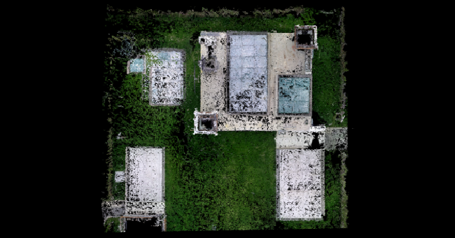
Generate point clouds on-site for terrain and stockpile calculation
Measure inaccessible targets safely with visual and laser
Visualize and stake out targets directly in the field with AR guidance
-
Datasheet_captuRTK™ TS30_20260410_EN_v1.0
Release Date: 2026-05-09 Version:1.0
-
Quick start_captuRTK™ TS30 _EN_20260422_v1.0
Release Date: 2026-05-09 Version:1.0