Tech Blog
-
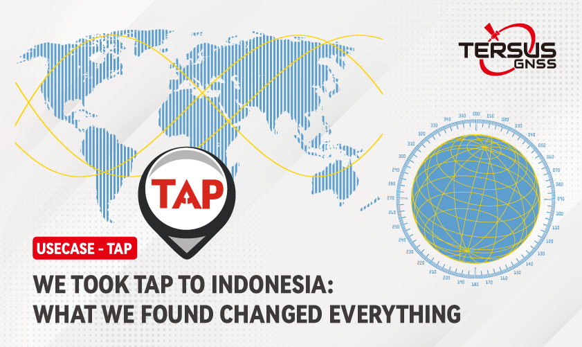 Mar 13, 2026We Took TAP to Indonesia-What We Found Changed EverythingWith TAP, we are confident in one thing: delivering high-precision positioning in the world through PPP. No base stations. No network dependency. Just one receiver providing centimeter-level results.
 -
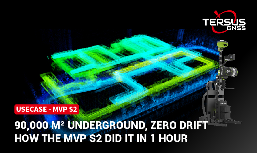 Feb 05, 2026Pushing the Limits of SLAM, 90000 m² Underground, 2 Levels, Zero Drift — How the MVP S2 Did It in 1 Hour1 Scan. 0 GCPs. 40x Efficiency. When other algorithms fail in feature-poor environments, the MVP S2 thrives.
 -
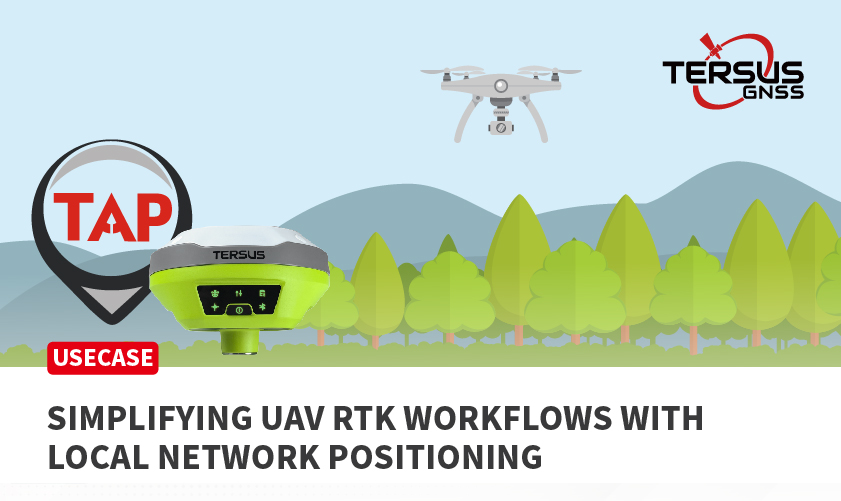 Jan 27, 2026Simplifying UAV RTK Workflows with Local Network Positioning LUKA-TAP and DJI Matrice 4E Field Test in IndonesiaUAV surveying and mapping continues to grow rapidly, driven by the need for higher efficiency and faster access to accurate spatial data. Most UAV missions today rely on PPK workflows, while some projects use network-based RTK services when connectivity a
 -
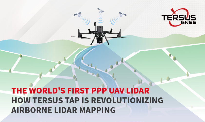 Jan 15, 2026The World's First PPP UAV LiDAR: How Tersus TAP is Revolutionizing Airborne LiDAR MappingThe World's First PPP UAV LiDAR: How Tersus TAP is Revolutionizing Airborne LiDAR Mapping
 -
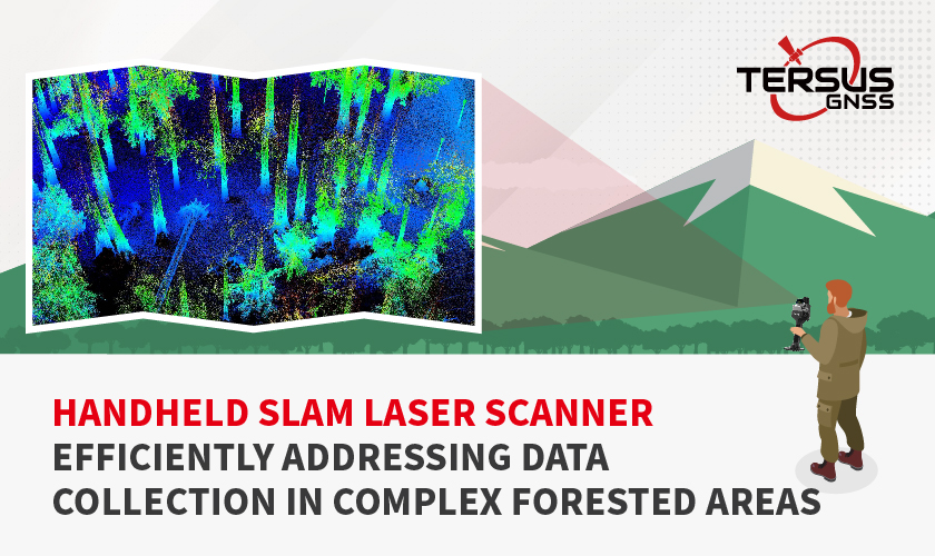 Jan 09, 2026TersusGNSS MVP S1 Handheld SLAM Laser Scanner: Efficiently Addressing Data Collection in Complex Forested AreasTersusGNSS MVP S1 Handheld SLAM Laser Scanner: Efficiently Addressing Data Collection in Complex Forested Areas
 -
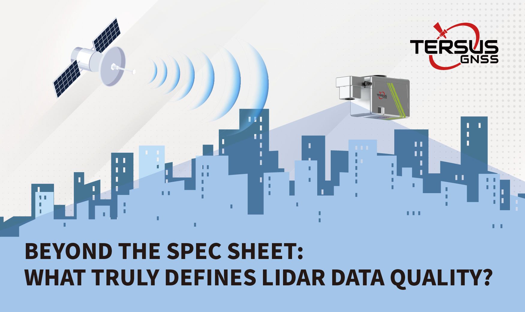 Oct 24, 2025Beyond the Spec Sheet: What Truly Defines LiDAR Data Quality?For any professional in surveying, mapping, or engineering, the promise of LiDAR is precision at scale. Yet, we’ve all seen it: one point cloud is crisp, clean, and perfectly aligned, while another of the very same location is noisy, sparse, and plagued w
+
more