
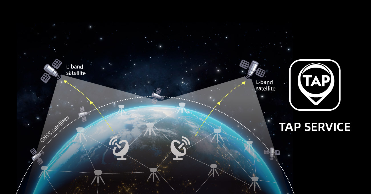
TAP Service
Directly receives corrections from satellites, ensuring 2.5cm accuracy with no need for local RTK base stations or CORS.
Tersus ExtremeRTK™ GNSS technology
Tersus self-developed technology delivers centimeter-level RTK positioning accuracy even in challenging environments.

Anti-interference
Self-developed advanced algorithms provide real-time interference visualization and mitigation.

Easy to integrate
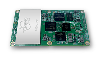
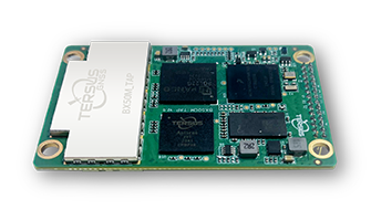
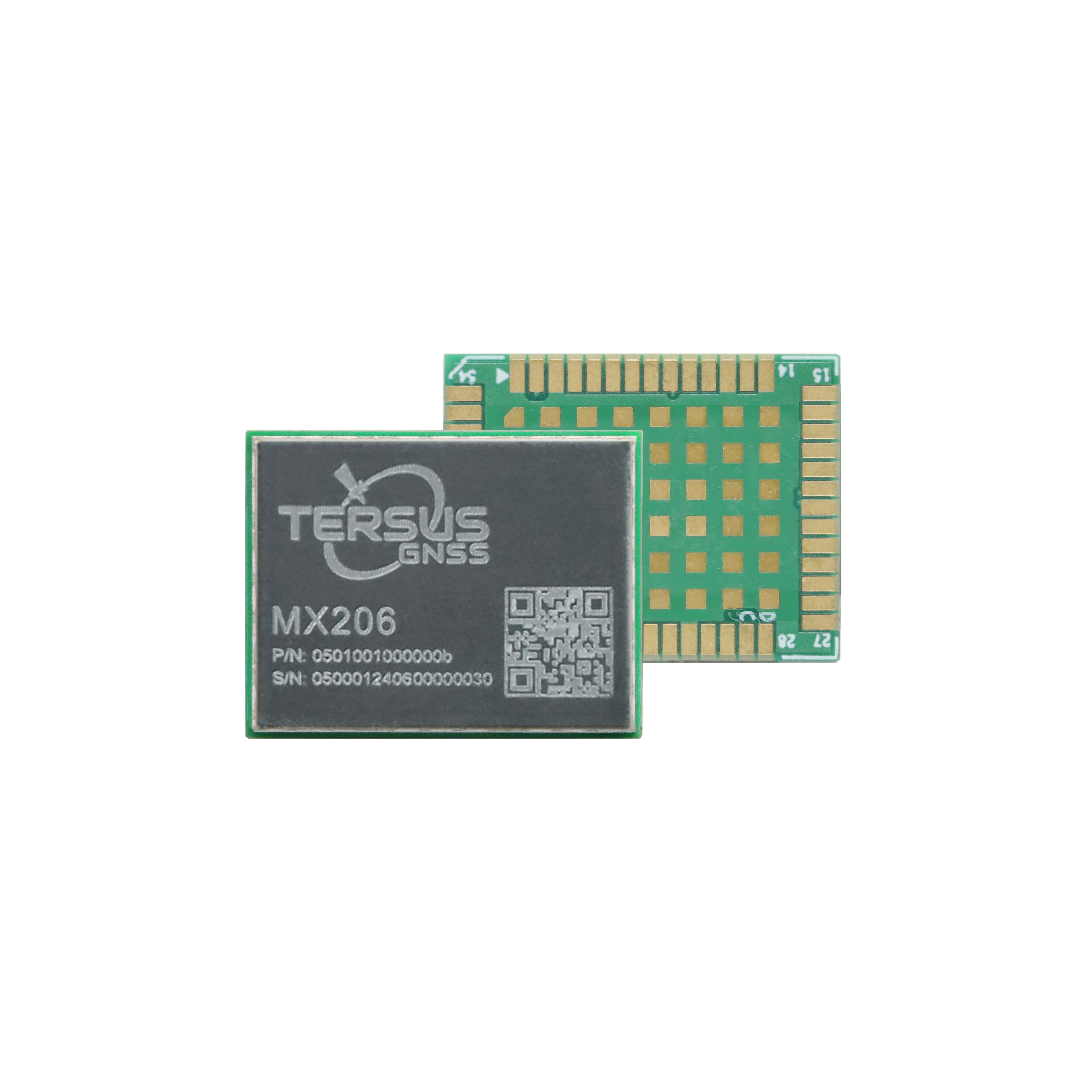
Ultra-compact 17×22×2.4 mm LGA-54 package. Industry-standard pinout with rich interfaces: 3×UART, 2×CAN, SPI Master/Slave, I²C, 2×PPS, and Event Mark.

Multi-frequency, multi-constellation
Tracks all current GNSS constellations and almost all frequencies. Provides flexible positioning options.

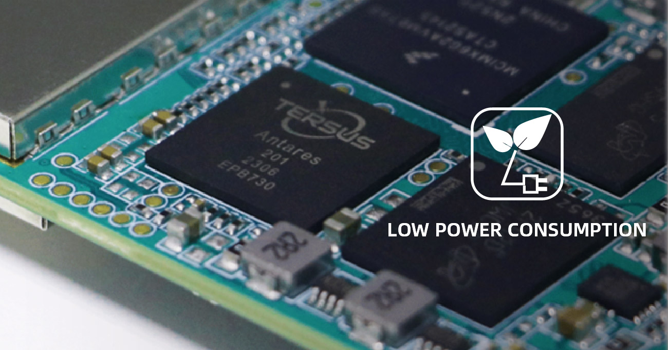
Low Power Consumption
Standard power consumption is down to 350mW, ideal for integrated applications with a high demand for low power consumption.
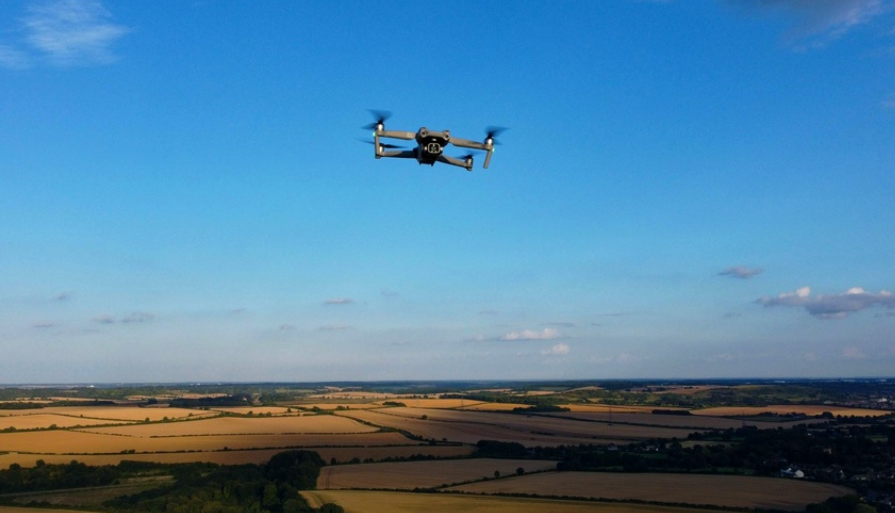
Power drone-based surveying, mapping, and inspection with real-time centimeter positioning for accurate 3D reconstruction and LiDAR georeferencing.
Enable autonomous tractors, precision spraying, and variable-rate application with centimeter-level guidance across vast farmlands. TAP PPP eliminates the need for base station infrastructure — simply power on and go.

Professional land surveying and construction layout with RTK-level precision. Fast PPP convergence time in <3 min for maximum field productivity.

Deliver precise positioning data for drones, UGVs, autonomous robots, and self-driving platforms. High dynamics support up to 550m/s velocity and 4g acceleration.

Accurate timing (10ns RMS) and continuous positioning for logistics tracking, fleet management, environmental monitoring, and infrastructure surveillance terminals.

-
MX206 Module Brochure
Release Date: 2026-02-26 Version:
-
MX206 Datasheet
Release Date: 2026-02-26 Version:V1.8